6th Sep, 2016 10:00
Fine Art
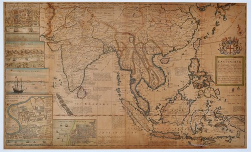
Herman Moll (1654-1732) ''A map of the East-Indies and the adjacent countries; with the settlements, factories and territories, explaining what belongs to England, Spain, France, Holland, Denmark, Portugal & Sea, with many remarks not extant, and many other maps by H. Moll...'', engraving with hand-colouring, publish c.1715-20, 61 x 100cms; 24 x 39 1/4in.
Sold for £1,500
Auction: Fine Art, 6th Sep, 2016
